
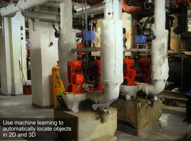
BIM Workflows: Photogrammetry vs LIDAR for data capture
A Comparison of Photogrammetry to LIDAR for Scan to BIM workflows using Drones
The photogrammetry workflow for creating BIM models has several advantages. It is less expensive than laser scanning, as it requires only a camera or drone and software. It can also be used to capture a larger area, and the process is faster than laser scanning.
However, photogrammetry also has some limitations, such as reduced accuracy in areas with poor lighting or limited contrast between the object and the background. Additionally, the quality of the 3D model depends on the quality of the photographs collected, which can be affected by factors such as weather conditions, lighting, and camera calibration.
Improving Drone Photogrammetry with a lower GSD
In the context of generating a mesh model from aerial drone photogrammetry, a smaller GSD(Ground Sampling Distance) can improve the quality of the mesh model by providing more detailed and accurate data. When a higher resolution image is used to create the mesh model, the resulting model can capture more detail and accuracy of the site, including the surface textures, features, and contours.
| Mode | Horizontal Accuracy (cm) | Vertical Accuracy (cm) | Point Density (Points per sqm) |
|---|---|---|---|
| Drone with Photogrammetry with low GSD (best) | 1-3 | 2-5 | 250-1000 |
| Drone with LIDAR (good) | 5-10 | 10-15 | 100-500 |
| Drone with Photogrammetry (good) | 3-5 | 5-10 | 50-250 |
In general, Lidar technology is known for its high accuracy in capturing elevation data, especially in densely vegetated or complex terrain. Lidar can also provide point clouds with high point density, which can be useful for creating detailed 3D models. However, Lidar technology can be more expensive than photogrammetry, and its accuracy can be affected by weather conditions such as fog or precipitation.
On the other hand, drone photogrammetry with low GSD can provide highly detailed and accurate imagery of surfaces and structures, especially when combined with ground control points and advanced processing techniques. However, photogrammetry can be more affected by issues such as changing lighting conditions or surface texture, and its accuracy can be impacted by the GSD or flying altitude.